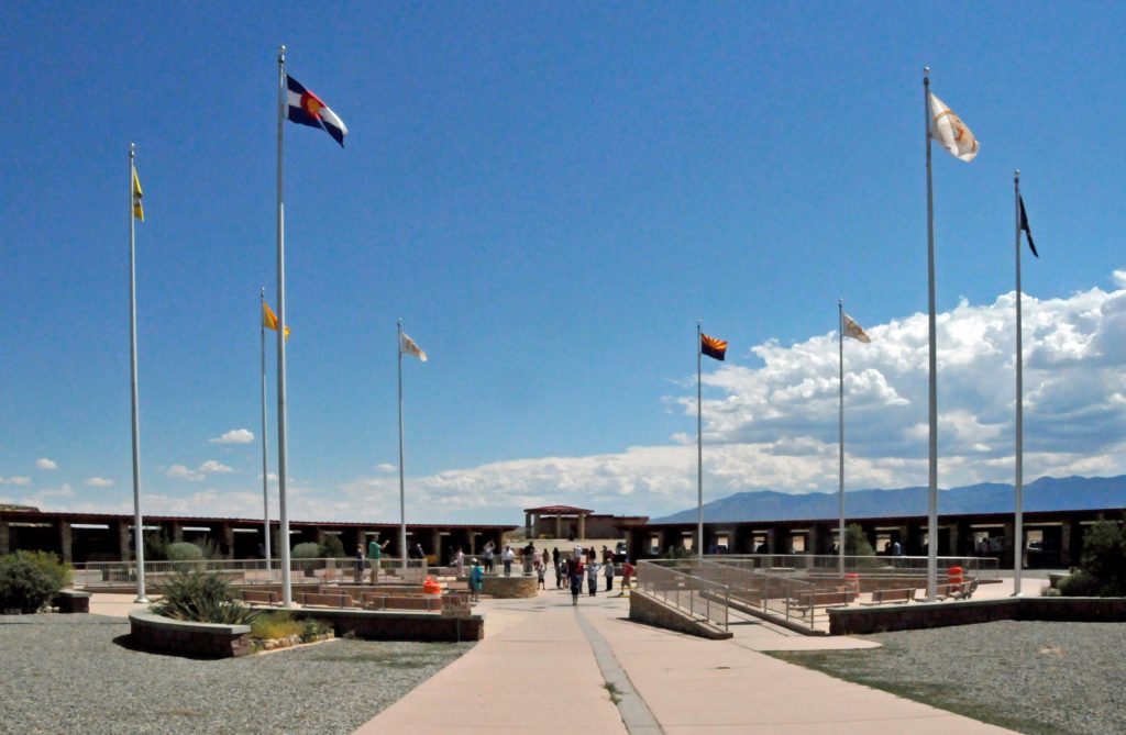
The Four Corners Monument marks the only place in the United States where four states meet at a single point. However, the monument is not where it was supposed to be.
In 1848, the United States gained control of the area that includes Utah, Colorado, Arizona and New Mexico in the treaty ending the Mexican-American War. In 1850, Congress created the New Mexico and Utah Territories, establishing the border between them as the 37th parallel north. In 1861, Congress divided the Utah Territory into a smaller Utah Territory and the Colorado Territory, defining the boundary between them as the 32nd meridian west from the Washington Meridian. In 1863, Congress divided the New Mexico Territory into a smaller New Mexico Territory and the Arizona Territory, defining their common boundary as the 32nd meridian west from the Washington Meridian. All four territories now shared a north-south and east-west boundary, resulting in the quadripoint known as the Four Corners. After the Civil War, government surveyors marked the 37th parallel and the 32nd meridian from the Washington Meridian. At the point where those lines crossed, they erected a sandstone shaft. Other monuments have been erected at that point, the most recent an aluminum-bronze disk set in granite. Although modern surveying techniques have determined that the Four Corners Monument is 1807 feet east of where it should have been placed, the Supreme Court determined that the inaccurately-placed monument nonetheless defines the legal point at which the four states meet.
Today, the Four Corners Monument also defines the boundary between territories governed by the Navajo Nation and the Ute Mountain Ute Tribe. The Navajo Nation operates a tourist attraction around the monument. For a fee, visitors can stand on the monument, being at once in four states. They can also purchase souvenirs produced by local Navajo and Ute artisans.